
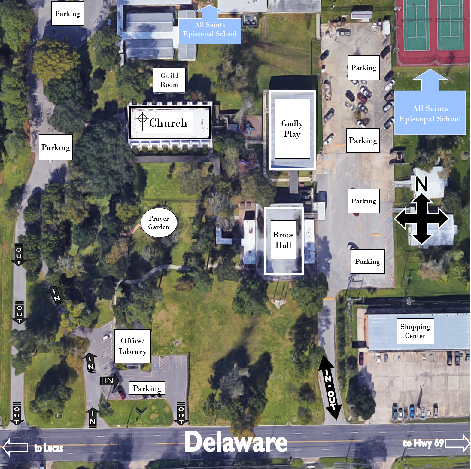
There are two main parking areas, one close to the church entrance and
the other close to Broce Hall (our parish hall).
A few spaces are located near Delaware around the church office.
There are two main parking areas, one close to the church entrance and
the other close to Broce Hall (our parish hall).
A few spaces are located near Delaware around the church office.